Our first stop along Tioga Rd was Tuolumne Grove of Giant Sequoias (the largest trees in the world). Here John demonstrates the huge size of these ancient trees (some date back well over 1500 years).
 MC and a fallen giant sequoia.
 Squirrel at Olmsted Point, where we stopped for lunch.
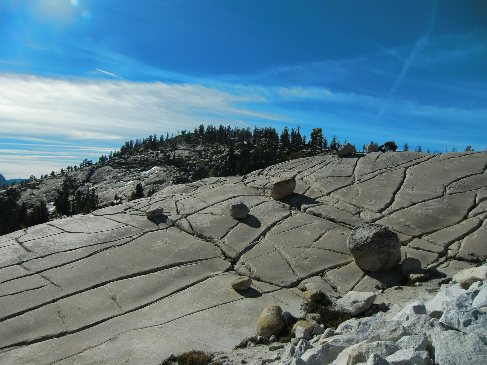 Olmsted Point, pretty spot for a picnic.
 Another view from Olmsted Point.
 John acting the goat at Tuolumne Meadows, the largest subalpine meadow in the Sierra Nevada.
 Tuolumne Meadows sits in the heart of Yosemite's high country at an elevation of 8575 feet.
 Tuolumne Meadows.
 We went for a hike up Lembert Dome and discovered Dog Lake on the way.
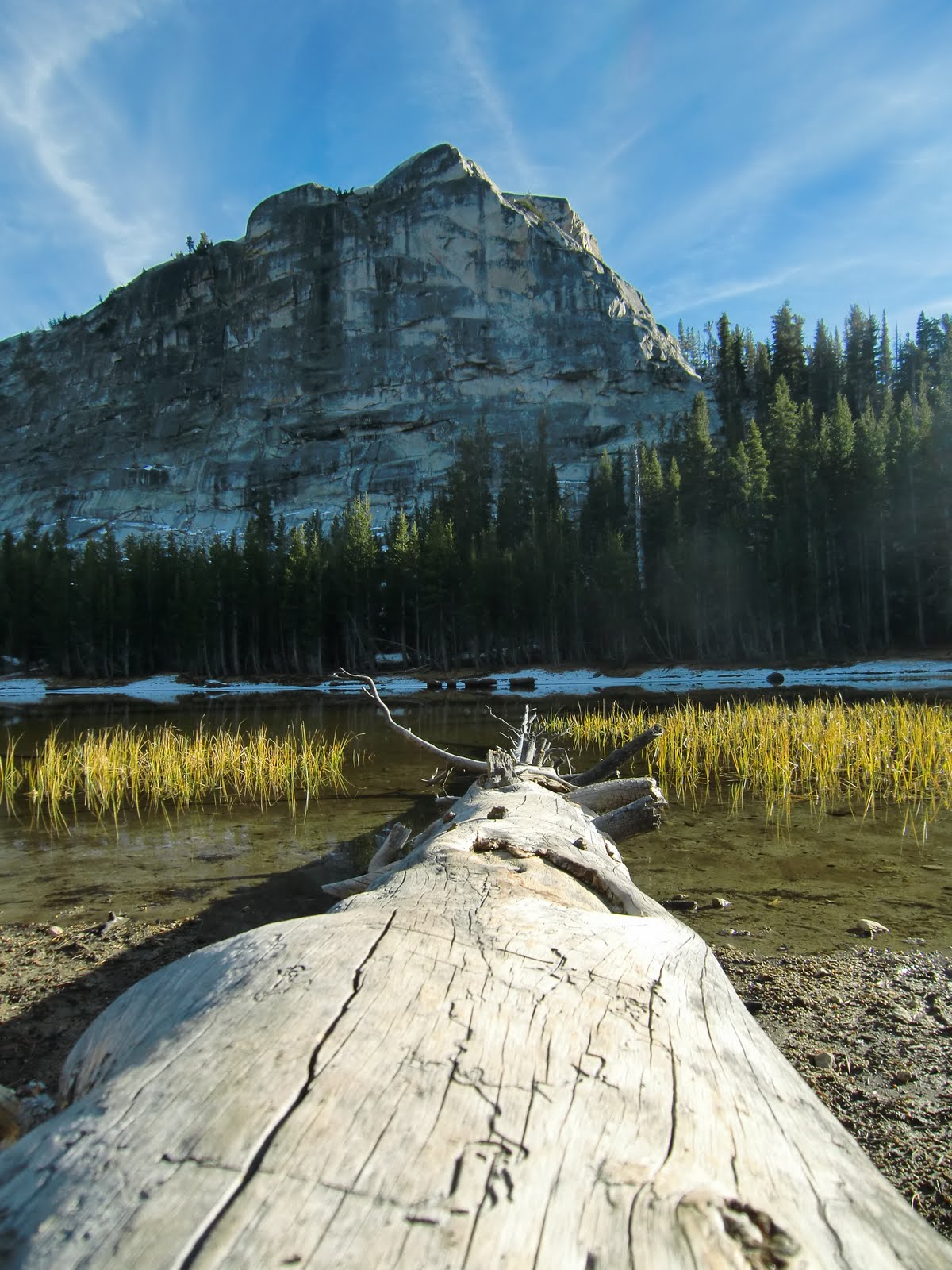 Dog Lake.
 At the top of Lembert Dome.
 MC and Lembert Dome in the background.
 Sun going down on Lake Tenaya...
 ...and Olmsted Point...
 ...and Tuolumne Grove.
 The next day we set off to explore Yosemite Valley.
 We were there in time to see the last of the fall colour in the leaves.
 We hiked up to the top of Vernal Fall.
 View from the top; Vernal Fall crashing into the Merced river.
 Merced river; you can see the top of Vernal Fall in the middle background.
 Acorn woodpecker; he pecks holes in the wood to store his acorns in.
 Grumpy MC at Lower Yosemite Falls (John had obviously done something annoying again).
 Yosemite Falls - you can see Upper Falls on the right and Lower down on the left in this shot. These falls are the fifth tallest in the world at 2425 feet.
 Deer roaming the carpark at Bridalveil Fall.
 Bridalveil Fall.
 View of the Valley from Glacier Point.
 We were fighting the rapidly subsiding daylight to make it to the last stop of the day, Mariposa Grove, Yosemite's largest cluster of giant sequoias (about 500 mature trees).
After two great days in Yosemite we were headed back into the big city; this time San Francisco.